


| FAQ |
| Calendar |

|
|
#1
 26th May 2012
|
||||
|
||||
|
Kondisi Barang : Baru
Harga : Lokasi Seller : DKI Jakarta Description : Jual Software original Transcad Transcad Overview : TransCAD is the first and only Geographic Information System (GIS) designed specifically for use by transportation professionals to store, display, manage, and analyze transportation data. TransCAD combines GIS and transportation modeling capabilities in a single integrated platform, providing capabilities that are unmatched by any other package. TransCAD can be used for all modes of transportation, at any scale or level of detail. TransCAD provides: A powerful GIS engine with special extensions for transportation Mapping, visualization, and analysis tools designed for transportation applications Application modules for routing, travel demand forecasting, public transit, logistics, site location, and territory management 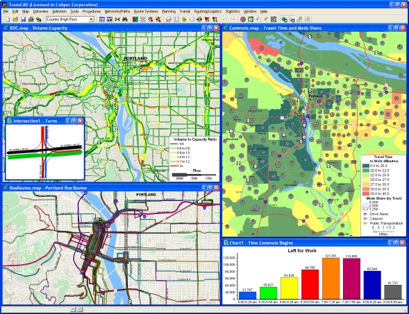 ransCAD has applications for all types of transportation data and for all modes of transportation, and is ideal for building transportation information and decision support systems. TransCAD runs on readily-available hardware under Microsoft Windows and embraces virtually all desktop computing standards. This has two important benefits: You can acquire and install TransCAD at a much lower cost than any other integrated GIS and transportation modeling solution You don�t have to build custom applications or complicated data interchange modules to perform transportation analysis with GIS data A Powerful GIS for Transportation TransCAD is a state-of-the-art GIS that you can use to create and customize maps, build and maintain geographic data sets, and perform many different types of spatial analysis. TransCAD includes sophisticated GIS features such as polygon overlay, buffering, and geocoding, and has an open system architecture that supports data sharing on local- and wide-area networks. TransCAD is the only software package that fully integrates GIS with demand modeling and logistics functionality. There are many reasons why it is valuable to have a GIS as part of a planning or routing and logistics package. First, GIS makes it possible for models to be much more accurate. Network distances and travel times are based on the actual shape of the road network and a correct representation of highway interchanges. Also, with networks you can specify complex road attributes such as truck exclusions, delays at intersections, one-way streets, and construction zones. Second, the entire modeling process is more efficient. Data preparation is greatly facilitated and the database and visualization capabilities catch errors before they cause problems. A third advantage is the GIS itself. In TransCAD, different modeling equations can easily be derived and applied for different geographic subareas. Similarly, TransCAD brings new and much-needed capabilities for measuring geographic accessibility. Lastly, the GIS approach provides a graphical solution that is easily understood. Users can convey highly technical information to the non-practitioner in a very straightforward and understandable manner. selama ini ane supply ke universitas di Indonesia Posisinya ane hanya sebagai reseller langsung dari Transcad dan Trainer. Jika butuh informasi details bisa PM ane langsung atau hubungi 08122494221 terima kasih 
|
 |
|
|


